Ordnance Survey Compass Route Information

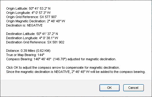
Clicking on the 'Draw Route' button at the upper right of the map will display a wide range of route information including latitude and longitude coordinates, six figure grid references, map and compass bearings, magnetic variation or declination and distances:

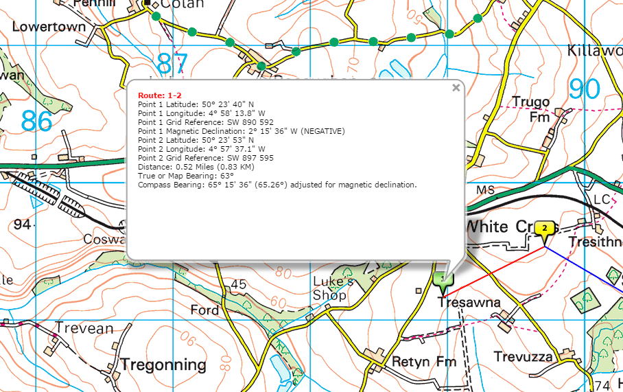
Clicking on the Route Markers will display route leg information:
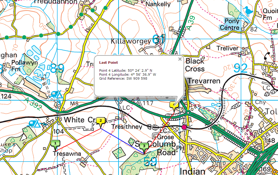
The latitude and longitude coordinates are provided for the last route marker:
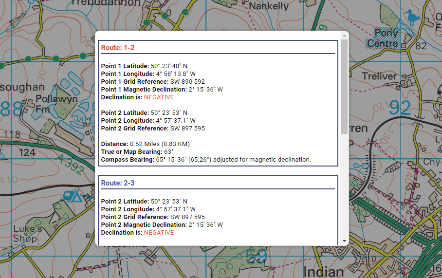
The View/Print Route(s) Information function in the menu provides a detailed route summary:

Ordnance Survey Compass route information
Clicking on the Route Markers will display route leg information:

Route Marker information
The latitude and longitude coordinates are provided for the last route marker:

Coordinates for the last route marker
The View/Print Route(s) Information function in the menu provides a detailed route summary:

View/Print Route(s) Information summary